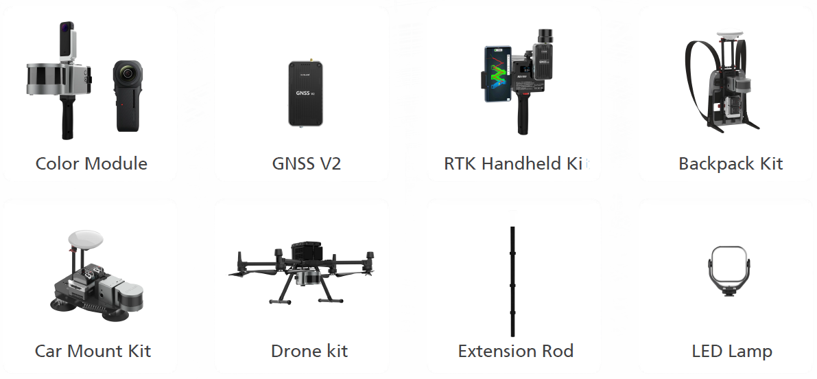
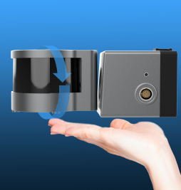
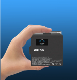
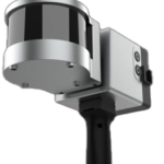
Lightweight
The weight of our Handheld Lidar Scanner is reduced to help you easily complete the measurement and feel the convenience of lightweight operation.
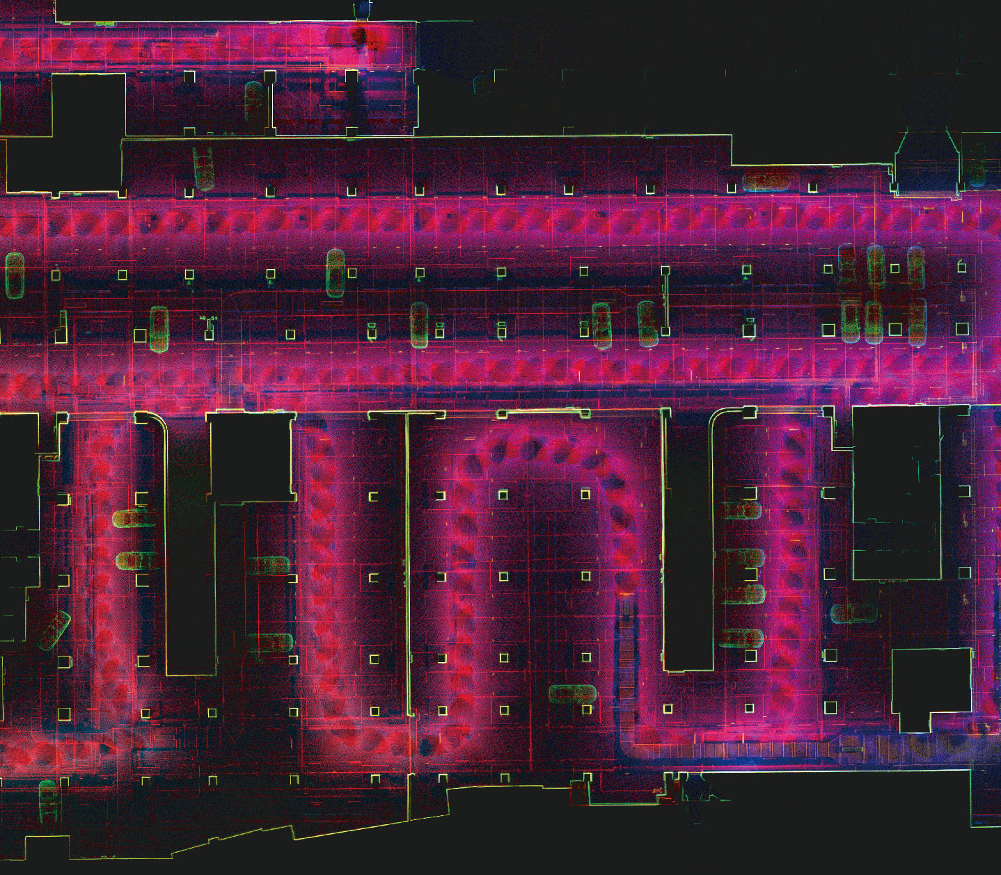
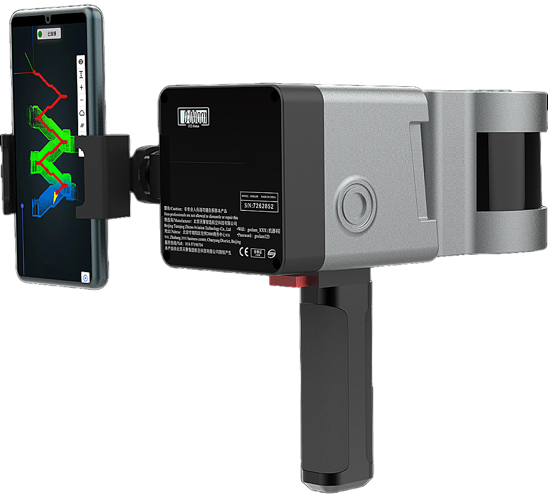
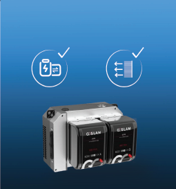
Hybrid solution technique
Our handheld Lidar Scanner has a unique hybrid solution technology. This ensures higher accuracy and improves the speed of its own solution. It greatly improves the scanning efficiency to match the post-processing software.
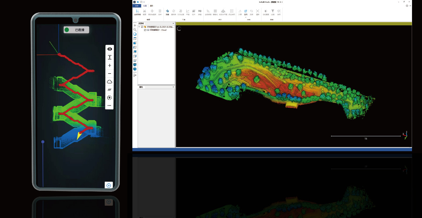
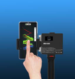
post-processing software
Software is specially designed and developed for the series of mobile 3D scanners, (mobile 3D Lidar Scanner )integrating device application and point cloud processing. It is also compatible with third-party device point cloud processing. The software has eight basic functions: one-click point cloud denoising, point cloud splicing, shadow rendering, coordinate transformation, automatic horizontal plane fitting, automatic point cloud data report generation, forward photography and point cloud encapsulation.
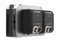
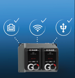
Data Transmission
Support a variety of data transmission methods, including access to mobile hard disk drive, USB and connection via WIFI and cables. The system has an interface which enabling collaborative work with third-party systems, bringing more possibilities for expanding application scenarios and methods.

crime Scene Investigations

Architecture and Construction
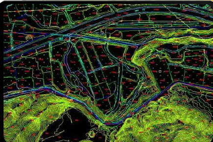
Surveying and Mapping
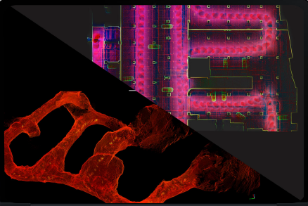
Industrial and Facility Management
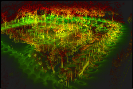
Forestry and Environmental Monitoring